Project Case Studies
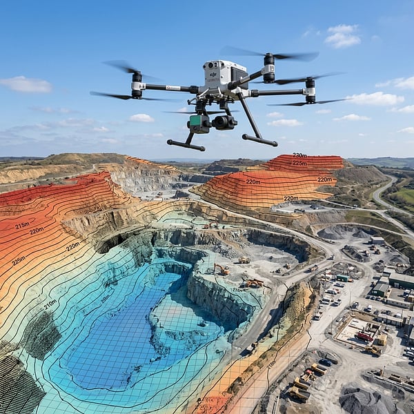
Tracing the data lifecycle from raw photos to high-density point clouds and wireframe meshes to verify precision.
Johannesburg Infrastructure GPR Scan
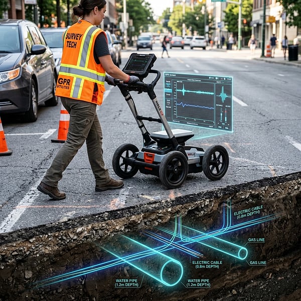
Prior to launching a multi-million Rand commercial office excavation, the construction company required verified mapping of historical underground services. TerraX3D surveyed the site using dual-frequency GPR and electromagnetic locators.
Data Pipeline:
Identified a high-voltage electrical cable feed and a municipal water main buried 1.2m deep that were completely omitted from historical site blueprint databases, preventing critical utility strike shutdowns.
Limpopo Utility Transmission Line LiDAR
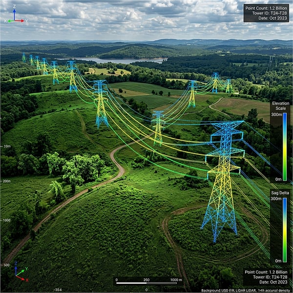
TerraX3D was commissioned to scan a 15km transmission line corridor passing through dense bushveld. We deployed drone-mounted LiDAR to analyze exact tree canopy proximity and evaluate cable sag parameters under thermal stress.
Data Pipeline:
Identified three critical vegetation encroachment zones and verified sub-millimetric tower tilt. Data was provided to engineers as a classified LAS point cloud file and digital elevation models (DEM).
Mpumalanga Coal Mine Stockpile Calculation
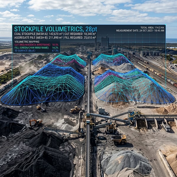
A large-scale coal mining operation required weekly volumetric updates of stock piles to audit inventory. We conducted drone volumetric surveys using RTK GNSS receivers to establish precise boundary bases.
Data Pipeline:
Processed stockpile volumes within 24 hours of flight. Volumetric data matched weighbridge inventory with under 1.2% absolute deviation, removing the need for manual surveyor pile climbing.
Frequently Asked Questions
Get answers to common inquiries about our case studies and completed spatial projects.
Ready to Audit Your Next Project Site?
Speak with our spatial data technicians to formulate a site capture, utility locate, or point cloud mapping brief.