Our Focus Areas
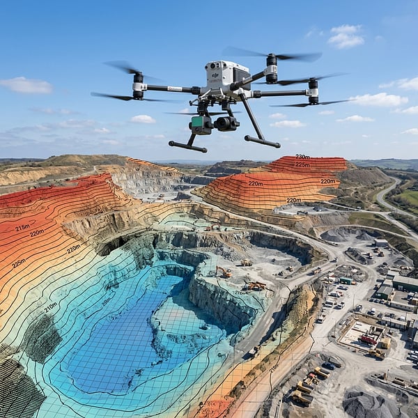
We focus exclusively on industrial B2B operations, delivering verified, millimetric coordinates that civil planners, build teams, and mining operators rely on.
Geomatics
Classical boundary re-establishment, topographical site mapping, and engineering land surveys tied to national control reference grids.
Subsurface Locating
Non-destructive Ground Penetrating Radar (GPR) and electromagnetic trackers to map buried utility lines, conduits, and structural voids before excavation.
3D Laser Scanning
High-density LiDAR and terrestrial scanning yielding millimeters-accurate registered point clouds for Scan-to-BIM modeling and CAD drafting.