Precision Scanning & Utility Locating
We utilize state-of-the-art Ground Penetrating Radar (GPR), electromagnetic line locators, and terrestrial LiDAR scanners to digitize physical environments into millimetric coordinates.
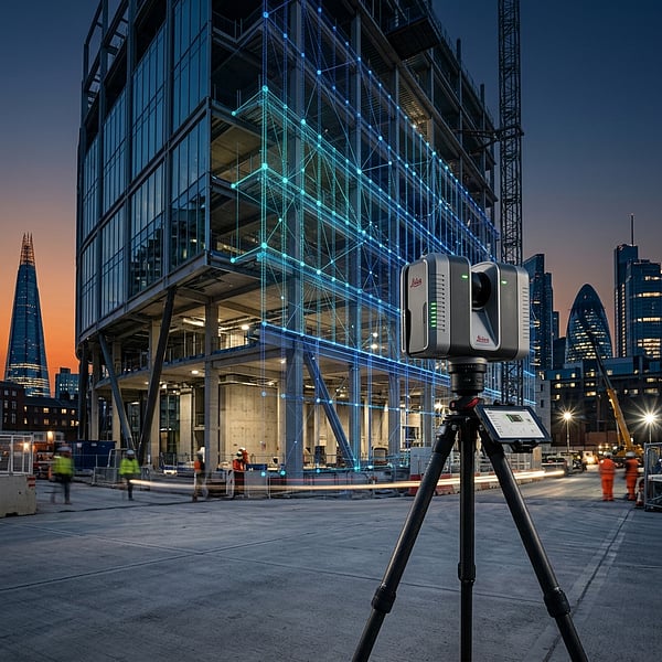
Lidar Scanner & 3D Laser Scanning
Capture highly detailed as-built conditions of buildings, factories, and mechanical assemblies. We convert registered point cloud datasets (.LAS/.LAZ) directly into Autodesk Revit (.RVT) BIM models and AutoCAD (.DWG) layouts to allow clash detection and renovation planning.
Key Applications:
- Revit 3D architectural models (Scan-to-BIM)
- Industrial plant and facility spatial mapping
- As-built layouts & deformation surveys
- Power corridor clearance & sag inspections
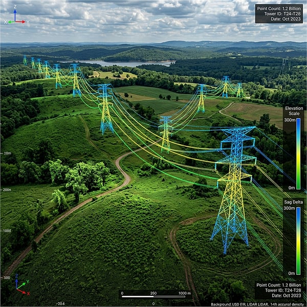
Terrestrial scanning generating dense point clouds for BIM overlays.
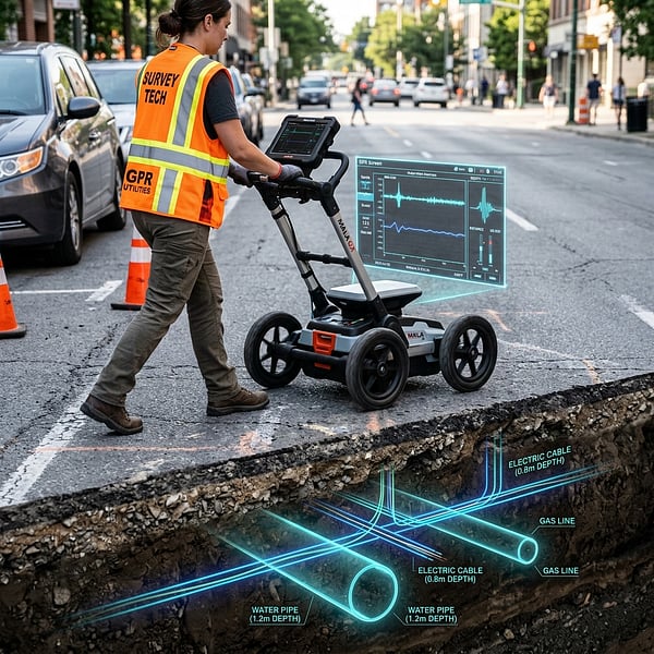
Dual-frequency GPR scanning providing subsurface profiles down to 4.5m.
GPR Scanner & Subsurface Locating
Locate buried metallic and non-metallic utilities before excavation begins. Using dual-frequency Ground Penetrating Radar (GPR) and precision electromagnetic active/passive tracing, we map water networks, gas pipelines, electrical runs, and communication cables to protect your excavation works.
Key Applications:
- Subsurface Utility Engineering (SUE) Quality Levels A-D
- Fiber optic and power cable tracing
- Water & gas pipe depth and alignment mapping
- Void, cavity, and sinkhole detection mapping
Rebar Scanner & Concrete GPR Scanning
Locate reinforcement steel, post-tension cables, and conduits inside concrete structures. We use high-frequency concrete radar to deliver detailed reports prior to coring, drilling, or structural renovations.
Key Applications:
- Concrete reinforcement cover and spacing mapping
- Post-tension (PT) cable depth and alignment checks
- Plastic and metallic conduit locating in slabs
- Void detection & structural integrity analysis
Non-destructive radar scans providing structural slab details.
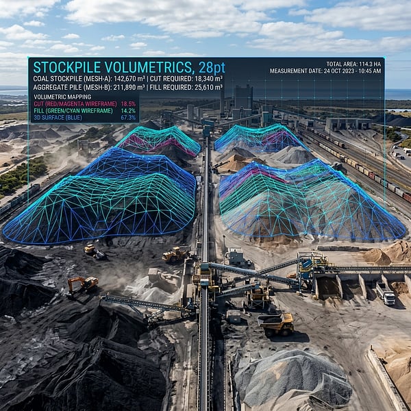
Millimetric cut/fill calculation and certified mining stockpile tonnage auditing.
Drone Volumetrics & Stockpile Calculations
Certified stockpile volume calculations and cut/fill earthwork balancing for mines, quarries, and civil infrastructure. We deploy RTK/PPK drones to eliminate hazardous manual walking while delivering ±1% volumetric accuracy.
Key Applications:
- Monthly mining stockpile tonnage audits
- Cut & fill earthmoving progress validation
- Quarry highwall & terrain 3D models
- Civil 3D & GIS volumetric deliverables
Aerial Drone Surveying & Photogrammetry
Survey-grade aerial topographic mapping, sub-2cm orthomosaics, and digital elevation models (DEM). Georeferenced to official South African Hartebeesthoek94 Lo meridian grids for engineering design and cadastral planning.
Key Applications:
- Sub-2cm GSD orthomosaic basemaps
- Topographic contour models (0.25m - 1m)
- Digital Surface & Terrain Models (DSM/DTM)
- 3D photorealistic textured reality meshes
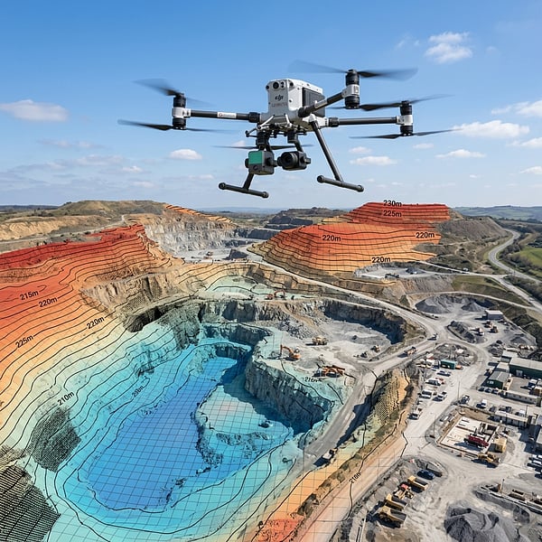
High-altitude mapping missions producing survey-grade digital terrain models.
Frequently Asked Questions
Get answers to common inquiries about our spatial, GPR scanning, and concrete structure solutions.
Need Defensible Spatial Coordinates?
Get in touch with our spatial surveyors and engineering technicians today. We draft custom scanning estimates tailored to your project layouts.