3D LiDAR Laser Scanning & Scan-to-BIM Contractors in Johannesburg, Pretoria & Gauteng
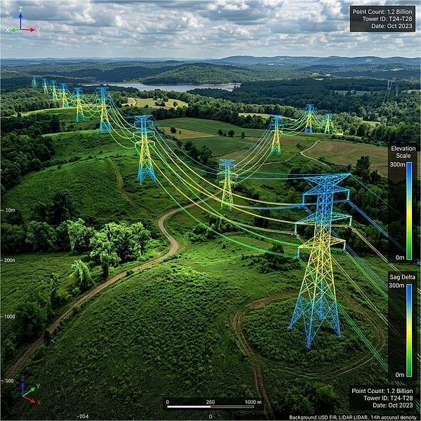
Across commercial redevelopments in Sandton and Rosebank, industrial manufacturing plants in Rosslyn and Isando, and government infrastructure in Pretoria, outdated 2D paper blueprints are the leading cause of structural fabrication clashes and construction rework. TerraX3D deploys survey-grade Terrestrial Laser Scanners (TLS) and mobile LiDAR across Gauteng to capture millimeter-accurate 3D digital twins.
What is the accuracy of 3D LiDAR laser scanning for Scan-to-BIM in Gauteng?
Survey-grade terrestrial 3D LiDAR laser scanning achieves a registered point cloud positional accuracy of �1mm to �3mm across building interiors, structural steelwork, and industrial MEP plant rooms, enabling architects and engineers to author LOD 300 to LOD 400 Autodesk Revit (.RVT) and AutoCAD (.DWG) models with zero field measurement ambiguity.
Key Applications Across Johannesburg, Pretoria & Midrand
- Commercial Office & Retail Refurbishments (Sandton, Menlyn, Waterfall): Rapid post-strip-out laser scanning of concrete cores, soffits, and HVAC risers to accelerate architectural space planning.
- Brownfield Industrial & Automotive Plants (Rosslyn, Silverton, Germiston, Vanderbijlpark): High-density piping, conveyor, and structural steel capture for clash detection in Navisworks before crane lifts.
- Structural Floor Flatness & Deflection Audits (ASTM E1155): High-resolution elevation heatmaps verifying warehouse super-flat slab tolerances in logistics parks along the R21 and N1 corridors.
Need an as-built LiDAR point cloud or Revit BIM model in Gauteng? Explore TerraX3D 3D LiDAR Scanning or book a site mobilization from our Pretoria East office.
Ready to map your site with millimeter accuracy?
Avoid costly strikes and coordinate clashes. Contact our professional geomatics engineering team to discuss your project requirements today.
Recommended Reading
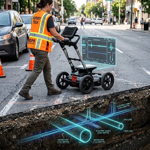
GPR Utility Scanning & Rebar Locating Cost per m� in South Africa (2026 Engineering Rate Guide)
Transparent 2026 B2B pricing guide for Ground Penetrating Radar (GPR) utility locating, concrete rebar scanning, 3D LiDAR Scan-to-BIM, and drone volumetric surveys in South Africa.
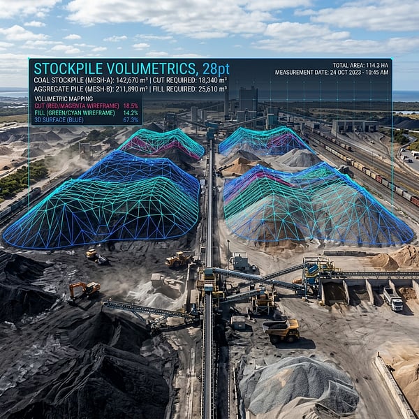
Monthly Mine Stockpile Volumetric Survey Services in Mpumalanga, Limpopo & North West
Certified UAV LiDAR and RTK photogrammetry stockpile volumetric surveys for coal, chrome, platinum, and aggregate mines across eMalahleni (Witbank), Middelburg, Burgersfort, and Rustenburg.
Drone Volumetric Stockpile Surveys: Precision Measurement & Cut/Fill Analytics in Mining
How UAV drone LiDAR and photogrammetry achieve sub-1% volumetric accuracy for mining stockpiles, cut/fill balancing, and bulk material audits in South Africa.