Monthly Mine Stockpile Volumetric Survey Services in Mpumalanga, Limpopo & North West
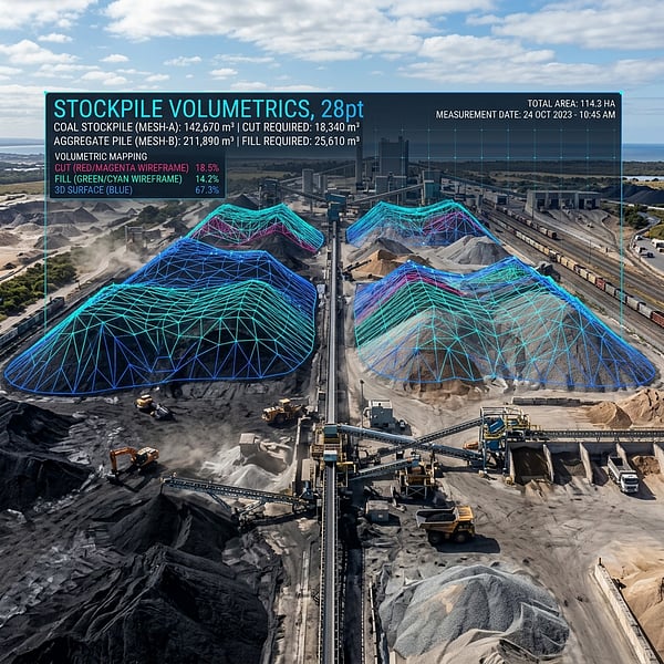
Accurate month-end Run-of-Mine (ROM), crushed product, and discard stockpile reconciliation is mission-critical for collieries in Mpumalanga, chrome and PGM operations on the Eastern Limb in Limpopo, and platinum smelters in North West. TerraX3D provides rapid, SACAA-compliant drone LiDAR and RTK photogrammetry volumetric audits across South Africa's primary mining belts.
How accurate are drone volumetric stockpile surveys for South African mine audits?
When tied to dual-frequency RTK GNSS ground control checkpoints on the South African Lo coordinate grid (WG27, WG29, or WG31), UAV LiDAR and photogrammetry stockpile surveys achieve volumetric accuracy within 1% to 2% of true physical volume, fully satisfying JSE, SAMREC, and external financial auditor requirements.
Regional Mining Corridors Served by TerraX3D
- Mpumalanga Coalfields (eMalahleni / Witbank, Middelburg, Hendrina, Ermelo, Secunda): Monthly ROM coal yard audits, discard dump compaction tracking, and open-cast box-cut stripping volumes.
- Limpopo Bushveld Complex (Burgersfort, Steelpoort, Mokopane, Lephalale, Thabazimbi): Chrome concentrate, ferrochrome slag, and iron ore stockpile reconciliations with DJI Zenmuse L3 LiDAR.
- North West Platinum Belt (Rustenburg, Brits, Marikana): Smelter feed inventory audits, tailings storage facility (TSF) freeboard monitoring, and haul road gradient compliance.
Schedule a monthly or ad-hoc mine stockpile volumetric audit: View Volumetric & Stockpile Solutions or request a mine site mobilization quote.
Ready to map your site with millimeter accuracy?
Avoid costly strikes and coordinate clashes. Contact our professional geomatics engineering team to discuss your project requirements today.
Recommended Reading
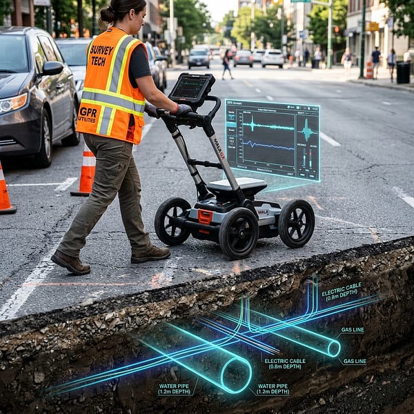
GPR Utility Scanning & Rebar Locating Cost per m� in South Africa (2026 Engineering Rate Guide)
Transparent 2026 B2B pricing guide for Ground Penetrating Radar (GPR) utility locating, concrete rebar scanning, 3D LiDAR Scan-to-BIM, and drone volumetric surveys in South Africa.
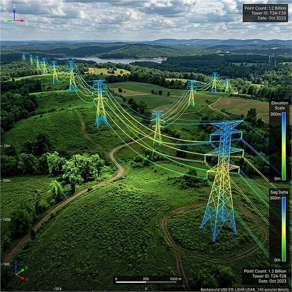
3D LiDAR Laser Scanning & Scan-to-BIM Contractors in Johannesburg, Pretoria & Gauteng
How engineering firms and architects in Johannesburg, Pretoria, and Gauteng use terrestrial and mobile 3D LiDAR laser scanning for millimeter-accurate Scan-to-BIM Revit models.
Drone Volumetric Stockpile Surveys: Precision Measurement & Cut/Fill Analytics in Mining
How UAV drone LiDAR and photogrammetry achieve sub-1% volumetric accuracy for mining stockpiles, cut/fill balancing, and bulk material audits in South Africa.