The Spatial Engineering Blog
Expert insights, tutorials, and case studies on GPR utility locating, high-density 3D laser scanning, Scan-to-BIM modeling, and structural concrete auditing in South Africa.
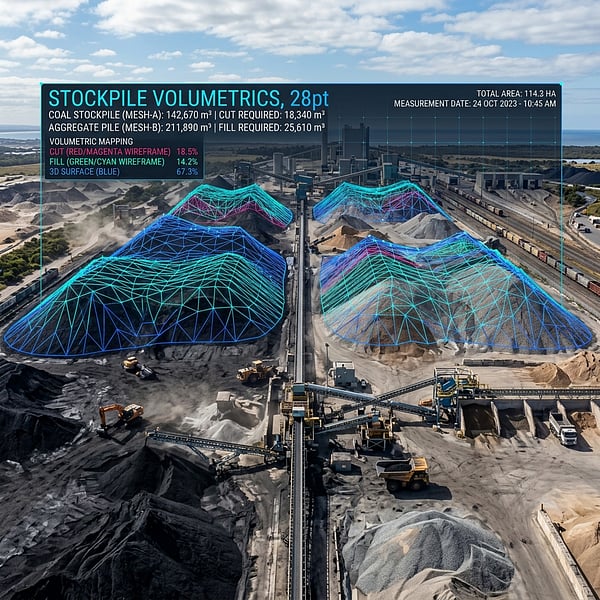
Drone Volumetric Stockpile Surveys: Precision Measurement & Cut/Fill Analytics in Mining
How UAV drone LiDAR and photogrammetry achieve sub-1% volumetric accuracy for mining stockpiles, cut/fill balancing, and bulk material audits in South Africa.
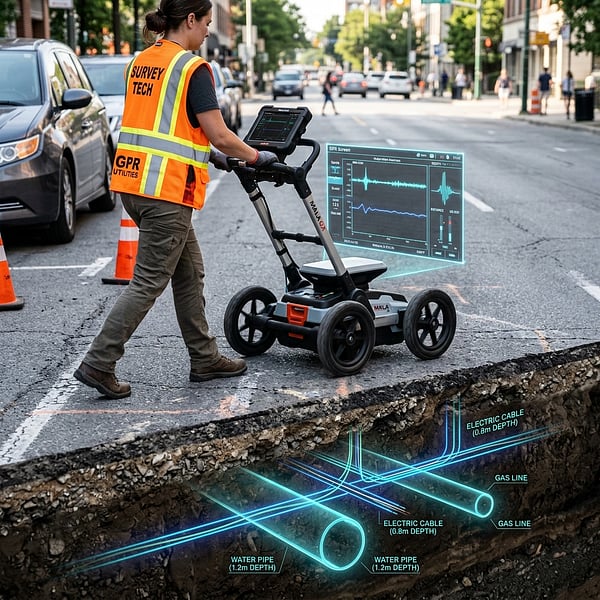
Ground Penetrating Radar (GPR) vs Electromagnetic Locators: Avoiding Subsurface Utility Strikes
Understand the distinct strengths of Ground Penetrating Radar (GPR) and Electromagnetic Locators (EML) for non-destructive subsurface utility engineering in South Africa.
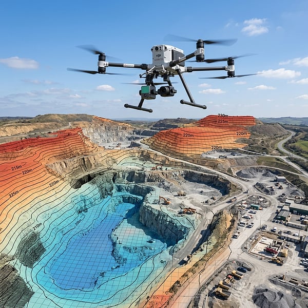
Aerial Photogrammetry vs LiDAR: Choosing the Right Geospatial Survey Method
Compare UAV photogrammetry and aerial LiDAR for topographic surveying, corridor inspection, and canopy penetration across South African terrain.
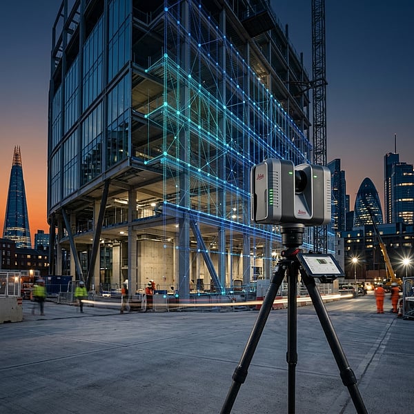
Concrete Scanning for Rebar & Post-Tension Cables: Non-Destructive Structural Mapping Before Coring
Why concrete radar scanning is mandatory before core drilling, slab cutting, or anchor drilling to prevent severing rebar, post-tension tendons, and electrical conduits.
Subsurface Utility Engineering (SUE) Standards in South Africa: Quality Levels D through A
A complete guide to Subsurface Utility Engineering (SUE) Quality Levels (QL-D to QL-A) and how they mitigate risk in civil infrastructure and municipal projects.
As-Built 3D Laser Scanning & Scan-to-BIM Workflows for Architects and Structural Engineers
How high-definition 3D laser scanning transforms complex physical buildings into millimetric Autodesk Revit BIM models for renovation, clash detection, and facilities management.