As-Built 3D Laser Scanning & Scan-to-BIM Workflows for Architects and Structural Engineers
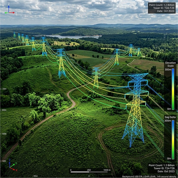
Traditional hand measuring and manual tape measuring of existing commercial buildings, heritage structures, and industrial plants is notoriously prone to errors, missing dimensions, and costly clash oversights during construction. Scan-to-BIM replaces manual guesswork with billions of registered 3D spatial coordinates.
The Scan-to-BIM Process Explained
Scan-to-BIM is the workflow of capturing a physical space using high-speed 3D laser scanners (terrestrial LiDAR) and converting the resulting point cloud into a fully parametric Building Information Model (BIM) in Autodesk Revit or ArchiCAD.
High-Density Field Laser Scanning
Surveyors set up terrestrial LiDAR scanners across rooms, floors, roof spaces, and external facades, capturing 360-degree point clouds with HDR panoramic colour photography.
Cloud Registration & Geo-Referencing
Individual scanner setups are stitched together using surveyed control targets, producing a single, unified 3D point cloud dataset (E57, LAS, RCS) accurate to within 2mm–4mm.
Parametric Revit Modeling (LOD 200–350)
BIM specialists model architectural elements (walls, doors, windows, slabs), structural framing (steel beams, columns, trusses), and MEP systems (ducts, pipes, conduit trays) directly over the 3D point cloud.
Key Benefits for Architectural and Engineering Teams
- Clash Detection: Identify spatial clashes between proposed architectural designs and existing structural elements before construction begins.
- Deformation & Floor Flatness Analysis: Quantify wall out-of-plumb deviations, sagging structural beams, and slab elevation contours.
- Zero Return Site Visits: Architects and consultants can virtually walk through the millimeter-accurate point cloud from their office.
Require an as-built BIM model for an upcoming project in Gauteng or South Africa? Explore 3D Laser Scanning Services or request an estimate.
Ready to map your site with millimeter accuracy?
Avoid costly strikes and coordinate clashes. Contact our professional geomatics engineering team to discuss your project requirements today.
Recommended Reading
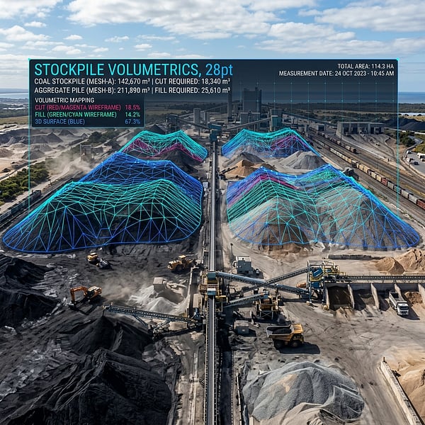
Drone Volumetric Stockpile Surveys: Precision Measurement & Cut/Fill Analytics in Mining
How UAV drone LiDAR and photogrammetry achieve sub-1% volumetric accuracy for mining stockpiles, cut/fill balancing, and bulk material audits in South Africa.
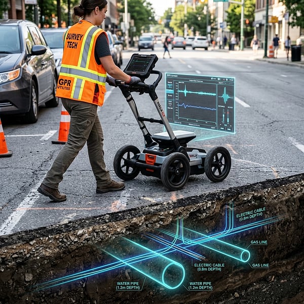
Ground Penetrating Radar (GPR) vs Electromagnetic Locators: Avoiding Subsurface Utility Strikes
Understand the distinct strengths of Ground Penetrating Radar (GPR) and Electromagnetic Locators (EML) for non-destructive subsurface utility engineering in South Africa.
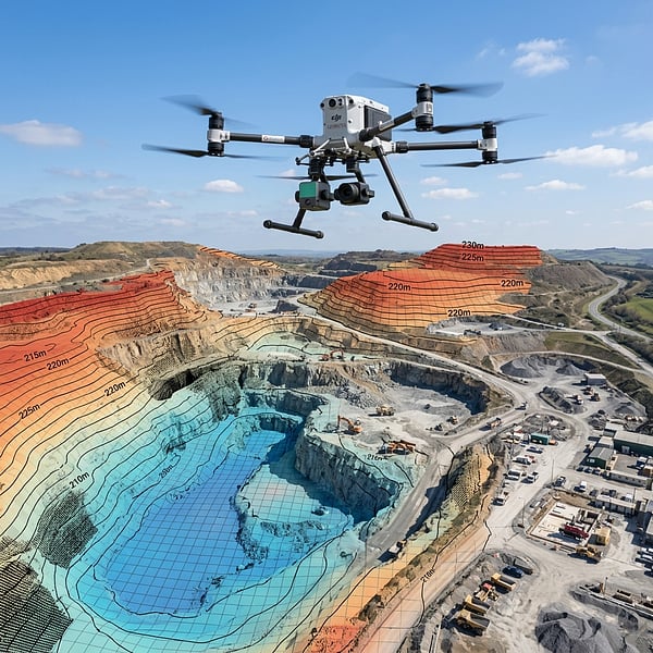
Aerial Photogrammetry vs LiDAR: Choosing the Right Geospatial Survey Method
Compare UAV photogrammetry and aerial LiDAR for topographic surveying, corridor inspection, and canopy penetration across South African terrain.