Aerial Photogrammetry vs LiDAR: Choosing the Right Geospatial Survey Method
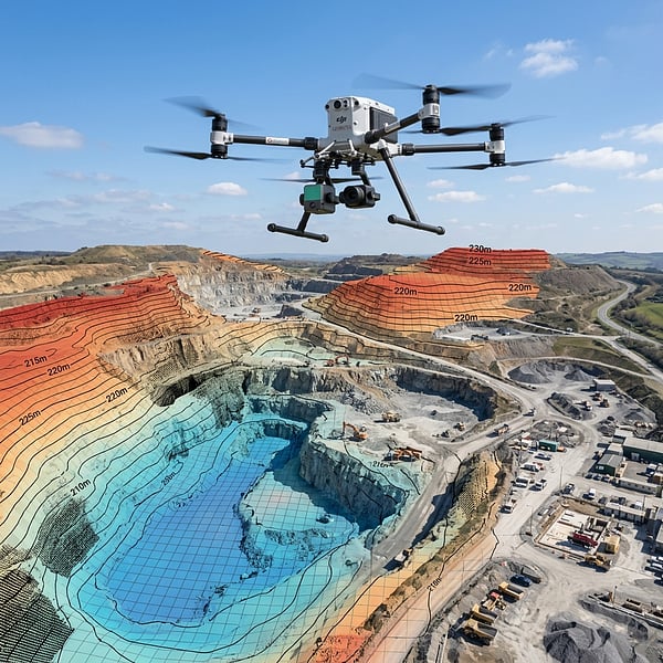
Choosing between drone photogrammetry and aerial LiDAR (Light Detection and Ranging) is one of the most critical decisions civil engineers, mine planners, and land surveyors face. While both methodologies produce 3D digital surface models, their underlying physics make them suited for very different terrain conditions.
1. Photogrammetry: High-Resolution Optical Reality
Photogrammetry uses calibrated metric cameras on drones to capture hundreds of high-overlap aerial photographs. Post-processing software identifies matching pixel tie points to reconstruct dense 3D point clouds, textured meshes, and georeferenced orthomosaics.
- Strengths: Ultra-crisp sub-1.5cm Ground Sampling Distance (GSD) visual orthomosaics, photorealistic texturing for BIM, and cost-effective mapping of open earthworks.
- Limitations: Requires ambient sunlight and cannot penetrate vegetation. Over dense bush, crops, or tree canopies, photogrammetry maps only the tree canopy rather than the true ground.
2. LiDAR: Multi-Return Canopy Penetration
LiDAR is an active sensor that fires hundreds of thousands of laser pulses per second and records the time of flight for each pulse reflection. Because a single laser pulse can yield multiple returns (e.g., first return off leaves, second off intermediate branches, third off bare ground), specialized classification algorithms filter out all vegetation to reveal the true Digital Terrain Model (DTM).
- Strengths: True bare-earth elevation under dense forestry and brush, millimetric wire and sag detection on power transmission corridors, and operational capability in low-light or night conditions.
- Limitations: Raw point clouds lack photographic RGB texturing unless fused with a co-mounted metric camera payload.
When to Use Which Technology in South Africa
For open quarries, active earthworks, and visual site inspections, Photogrammetry provides rich detail. For powerline corridors, dense bushveld topography, and structural sag modeling, LiDAR is mandatory.
Need tailored geospatial recommendations for your project? Explore Aerial Photogrammetry or 3D LiDAR Services.
Ready to map your site with millimeter accuracy?
Avoid costly strikes and coordinate clashes. Contact our professional geomatics engineering team to discuss your project requirements today.
Recommended Reading
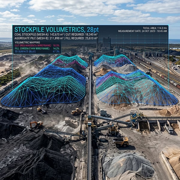
Drone Volumetric Stockpile Surveys: Precision Measurement & Cut/Fill Analytics in Mining
How UAV drone LiDAR and photogrammetry achieve sub-1% volumetric accuracy for mining stockpiles, cut/fill balancing, and bulk material audits in South Africa.
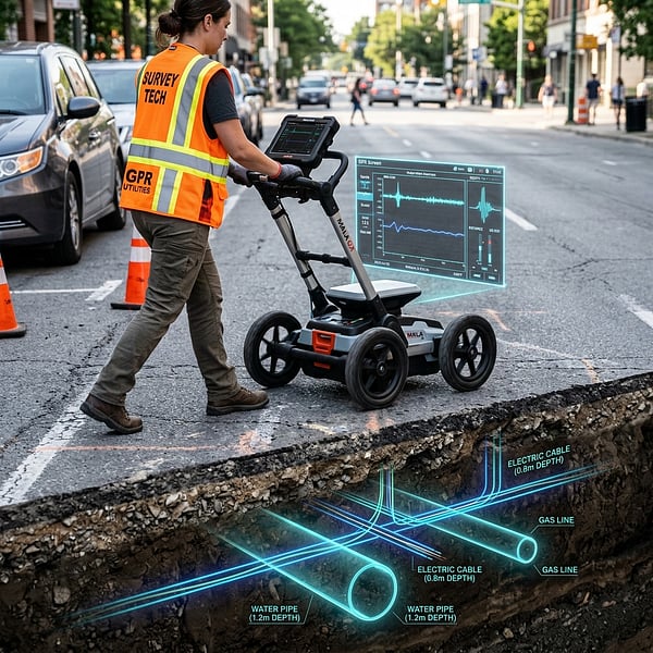
Ground Penetrating Radar (GPR) vs Electromagnetic Locators: Avoiding Subsurface Utility Strikes
Understand the distinct strengths of Ground Penetrating Radar (GPR) and Electromagnetic Locators (EML) for non-destructive subsurface utility engineering in South Africa.
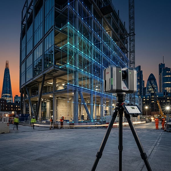
Concrete Scanning for Rebar & Post-Tension Cables: Non-Destructive Structural Mapping Before Coring
Why concrete radar scanning is mandatory before core drilling, slab cutting, or anchor drilling to prevent severing rebar, post-tension tendons, and electrical conduits.