Ground Penetrating Radar (GPR) vs Electromagnetic Locators: Avoiding Subsurface Utility Strikes
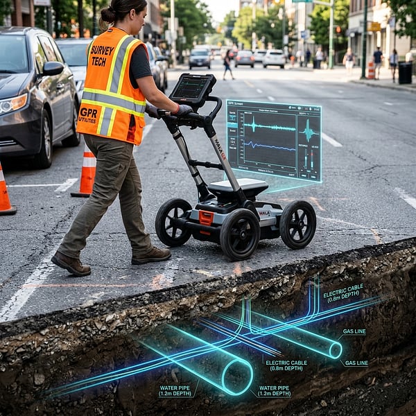
Striking a high-voltage electrical cable, pressurized gas main, or municipal water line during excavation can cost hundreds of thousands of rands in repairs, downtime, and regulatory penalties. Preventing utility strikes requires understanding how modern geophysical detection tools work together.
Electromagnetic Locators (EML): The Metallic Line Standard
Electromagnetic locators operate by detecting electromagnetic fields radiating from metallic conductors (such as copper power cables, steel pipelines, and tracer wires). EML tools operate in two distinct modes:
- Passive Mode: Detects existing 50Hz electrical current or ambient radio signals naturally conducted through buried metallic lines.
- Active Mode (Direct Connection / Induction): A transmitter applies a specific known radio frequency (e.g., 8kHz, 33kHz, or 131kHz) directly to a pipe or valve box, allowing surveyors to trace the exact alignment and depth for kilometers.
The limitation: EML is entirely blind to non-metallic utilities such as PVC water pipes, HDPE gas conduits, clay drainage sewers, fiber optics without tracer wires, and underground concrete structures.
Ground Penetrating Radar (GPR): Seeing Non-Metallic Infrastructure
Ground Penetrating Radar emits high-frequency electromagnetic radar pulses (typically 200MHz to 800MHz for utility mapping) into the soil. When the radar wave encounters a boundary between two materials with differing dielectric properties (such as soil and a plastic pipe, concrete culvert, or air-filled void), a portion of the wave reflects back to the receiving antenna.
Why Dual-Frequency GPR is Crucial
High-frequency radar pulses (e.g., 700MHz) deliver crisp, high-resolution scans of shallow utilities and concrete slabs, while lower frequencies (e.g., 250MHz) penetrate deeper into conductive subsoils down to 4 meters.
The Multi-Sensor SUE Strategy
Neither tool alone is sufficient for 100% strike prevention. High-standard Subsurface Utility Engineering (SUE) combines GPR radargrams with active EML line tracing, GNSS rover geo-referencing, and CAD layer registration to produce defensible utility maps prior to mechanical breaking.
Planning site excavation in Gauteng or South Africa? Learn more about TerraX3D GPR Utility Locating or speak with a geomatics engineer.
Ready to map your site with millimeter accuracy?
Avoid costly strikes and coordinate clashes. Contact our professional geomatics engineering team to discuss your project requirements today.
Recommended Reading
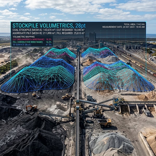
Drone Volumetric Stockpile Surveys: Precision Measurement & Cut/Fill Analytics in Mining
How UAV drone LiDAR and photogrammetry achieve sub-1% volumetric accuracy for mining stockpiles, cut/fill balancing, and bulk material audits in South Africa.
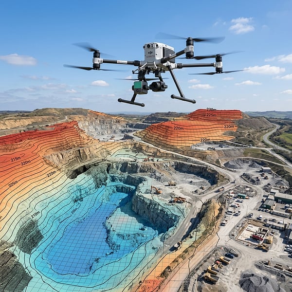
Aerial Photogrammetry vs LiDAR: Choosing the Right Geospatial Survey Method
Compare UAV photogrammetry and aerial LiDAR for topographic surveying, corridor inspection, and canopy penetration across South African terrain.
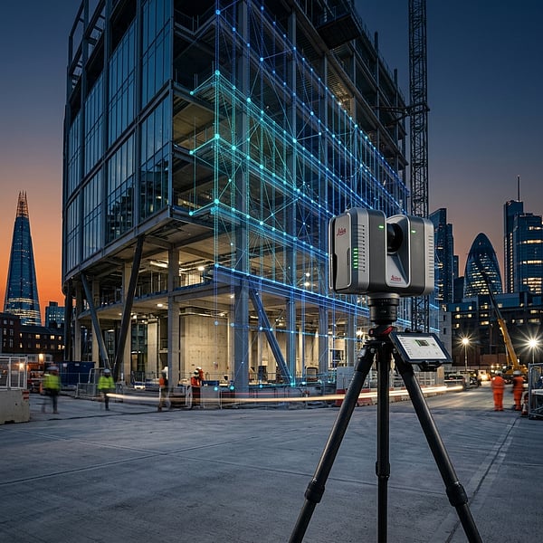
Concrete Scanning for Rebar & Post-Tension Cables: Non-Destructive Structural Mapping Before Coring
Why concrete radar scanning is mandatory before core drilling, slab cutting, or anchor drilling to prevent severing rebar, post-tension tendons, and electrical conduits.