Drone Volumetric Stockpile Surveys: Precision Measurement & Cut/Fill Analytics in Mining
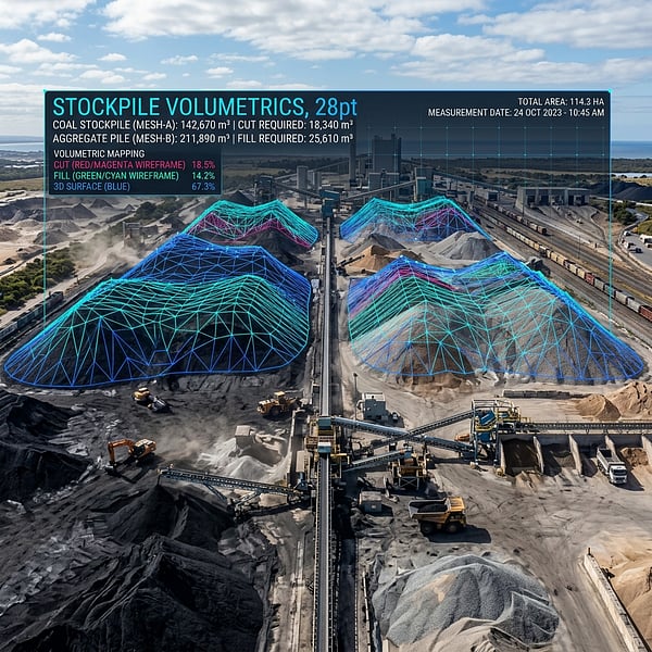
Managing bulk inventory across open-cast mines, quarries, aggregate processing yards, and coal terminals has historically relied on hazardous manual GPS walking or inaccurate weighbridge estimates. Today, RTK/PPK-guided drone volumetric surveying delivers certified cubic meter calculations within 1% to 2% precision in a fraction of the time.
The Danger and Error of Traditional Stockpile Measurement
When a surveyor walks a loose 15-meter-high aggregate or coal stockpile with a GNSS rover pole, several critical limitations arise:
- Severe Safety Risks: Personnel face steep slope instability, loose voids, active heavy haulage machinery, and falling rock hazards.
- Top Surface Interpolation Gaps: Human surveyors can only sample 20 to 50 discrete points along accessible ridges, forcing software to crudely interpolate complex conical or irregular crowns.
- Slow Mobilization: Measuring a multi-hectare stockyard manually can take days, during which active material movement distorts accounting numbers.
How Drone Volumetrics Captures Every Irregularity
By flying autonomous, high-overlap grid patterns equipped with calibrated metric cameras or dual-return LiDAR sensors, TerraX3D captures hundreds of coordinate points per square meter. The resulting Digital Surface Model (DSM) maps every ridge, crevice, and slump with millimetric definition.
Base Surface Triangulation: The Key to Precision
A volumetric calculation is only as accurate as its base plane. TerraX3D models complex irregular terrain floors using historical pre-dump terrain baselines or surveyed toe-boundary interpolations to ensure zero subterranean volume overestimation.
Converting Cubic Meters to Certified Financial Tonnage
Raw volume in cubic meters (m³) is matched against laboratory-verified compaction density factors (t/m³). Monthly audit reports delivered by TerraX3D include signed certificates of volume, elevation differential heatmaps, and variance analyses compliant with international mining financial audit standards.
Earthwork Cut & Fill Optimization for Civil Contractors
Beyond loose stockpiles, drone volumetric differential models compare existing site ground elevations directly against proposed AutoCAD Civil 3D TIN design surfaces. Civil engineers can immediately verify contractor haulage claims, balance cut/fill deficits, and avoid costly dispute arbitrations.
Need your stockpiles or mining pit surveyed with certified accuracy? Explore TerraX3D Volumetric Solutions or request a quotation today.
Ready to map your site with millimeter accuracy?
Avoid costly strikes and coordinate clashes. Contact our professional geomatics engineering team to discuss your project requirements today.
Recommended Reading
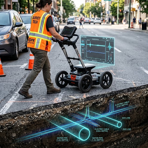
Ground Penetrating Radar (GPR) vs Electromagnetic Locators: Avoiding Subsurface Utility Strikes
Understand the distinct strengths of Ground Penetrating Radar (GPR) and Electromagnetic Locators (EML) for non-destructive subsurface utility engineering in South Africa.
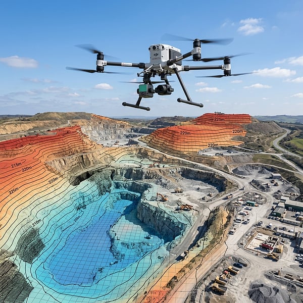
Aerial Photogrammetry vs LiDAR: Choosing the Right Geospatial Survey Method
Compare UAV photogrammetry and aerial LiDAR for topographic surveying, corridor inspection, and canopy penetration across South African terrain.
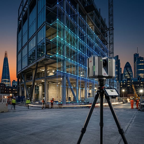
Concrete Scanning for Rebar & Post-Tension Cables: Non-Destructive Structural Mapping Before Coring
Why concrete radar scanning is mandatory before core drilling, slab cutting, or anchor drilling to prevent severing rebar, post-tension tendons, and electrical conduits.