Concrete Scanning for Rebar & Post-Tension Cables: Non-Destructive Structural Mapping Before Coring
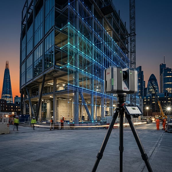
Core drilling through a post-tension (PT) cable or high-voltage conduit embedded in a concrete suspended slab can cause catastrophic structural failure, explosive tendon release, project-halting safety shutdowns, and massive liability claims. Non-destructive concrete GPR scanning eliminates this hazard.
The Danger of Post-Tension (PT) Tendon Strikes
Post-tensioned concrete slabs contain high-strength steel strands pulled under enormous tension (often exceeding 150 kN per tendon). If a core drill nick or cuts one of these energized cables, the sudden release of energy can shatter surrounding concrete, eject the tendon through the slab edge, and permanently compromise structural load capacity.
How High-Frequency Concrete Radar Maps Slabs
Using specialized ultra-high-frequency radar antennas (1.5GHz to 2.7GHz), TerraX3D performs tightly spaced grid scans directly on slab surfaces. The resulting scans reveal:
- Rebar Grids: Precise spacing, depth of concrete cover, and multi-layer reinforcement mat alignments.
- Post-Tension Tendons: Distinct hyperbola signatures differentiating high-tension cables from standard rebar mesh.
- Conduits & Radiant Tubes: Plastic PVC conduits, metallic pipes, and hydronic floor heating loops.
- Internal Voids & Delamination: Honeycombing and moisture pockets within cured concrete slabs.
On-Site Markout & CAD Certification
Our technicians perform direct on-slab laser markouts with designated "Safe Coring Zones" and deliver certified 3D CAD/PDF structural audit drawings for structural engineers and project managers.
Scheduling commercial core drilling or renovation works? Discover TerraX3D Concrete Rebar Scanning or book a technician.
Ready to map your site with millimeter accuracy?
Avoid costly strikes and coordinate clashes. Contact our professional geomatics engineering team to discuss your project requirements today.
Recommended Reading
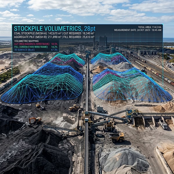
Drone Volumetric Stockpile Surveys: Precision Measurement & Cut/Fill Analytics in Mining
How UAV drone LiDAR and photogrammetry achieve sub-1% volumetric accuracy for mining stockpiles, cut/fill balancing, and bulk material audits in South Africa.
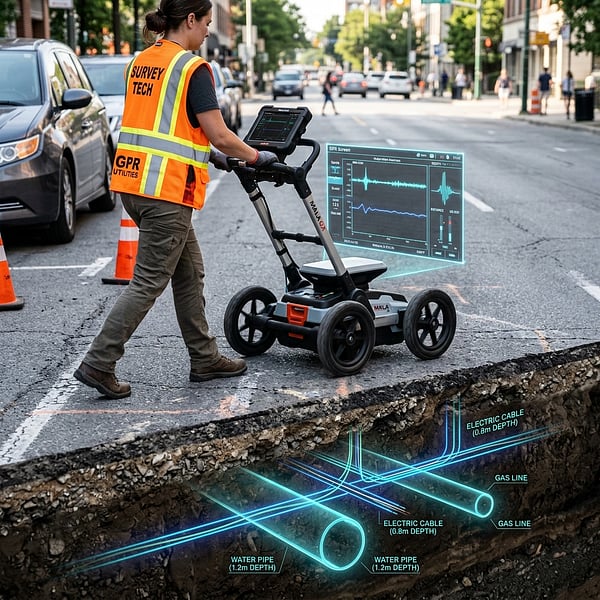
Ground Penetrating Radar (GPR) vs Electromagnetic Locators: Avoiding Subsurface Utility Strikes
Understand the distinct strengths of Ground Penetrating Radar (GPR) and Electromagnetic Locators (EML) for non-destructive subsurface utility engineering in South Africa.
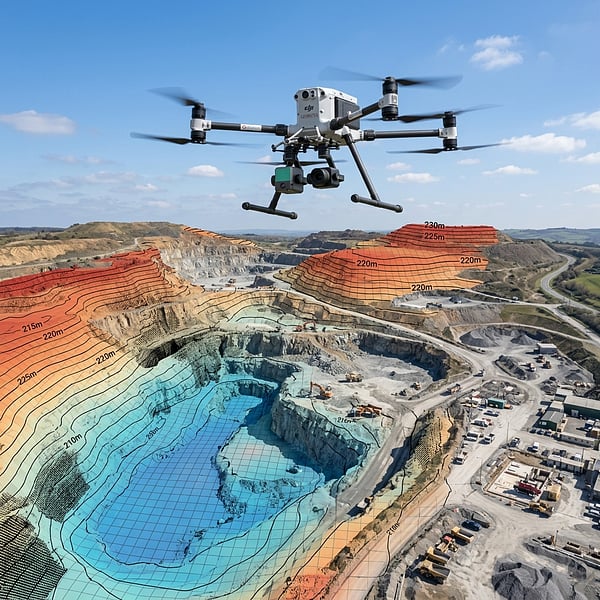
Aerial Photogrammetry vs LiDAR: Choosing the Right Geospatial Survey Method
Compare UAV photogrammetry and aerial LiDAR for topographic surveying, corridor inspection, and canopy penetration across South African terrain.