Subsurface Utility Engineering (SUE) Standards in South Africa: Quality Levels D through A
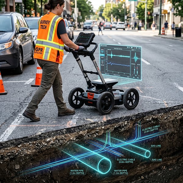
Subsurface Utility Engineering (SUE) is an internationally recognized branch of civil engineering that systematically identifies, locates, and characterizes underground utility infrastructure during project planning and design phases. Applying SUE standards significantly reduces change orders, design redesigns, and contractor strike claims.
The Four SUE Quality Levels Defined
Quality Level D (QL-D): Existing Records Research
Information gathered from municipal as-built records, utility owner schematic drawings, and verbal interviews. Provides a preliminary indication of utility presence with lowest overall reliability.
Quality Level C (QL-C): Surface Feature Visual Survey
Surveying observable above-ground utility appurtenances (manholes, valve covers, fire hydrants, stormwater catch basins, transformer boxes) and correlating them with QL-D historical records.
Quality Level B (QL-B): Geophysical Designation (GPR & EML)
Using surface geophysical instruments (dual-frequency GPR and electromagnetic locators) to determine the continuous 2D horizontal alignment and approximate depth of both metallic and non-metallic utilities.
Quality Level A (QL-A): Non-Destructive Vacuum Excavation (Potholing)
Exposing the exact utility pipe or cable via non-destructive vacuum excavation or hand digging to record millimetric 3D coordinates (X, Y, Z depth), pipe diameter, material composition, and condition.
The Return on Investment for Civil Infrastructure
Independent studies demonstrate that every R1.00 invested in Subsurface Utility Engineering yields between R4.50 and R9.00 in cost savings by avoiding unexpected utility strikes, costly project delays, and late-stage engineering redesigns.
Need SUE Quality Level B or A utility mapping for your civil project? Explore Subsurface Utility Locating or contact TerraX3D.
Ready to map your site with millimeter accuracy?
Avoid costly strikes and coordinate clashes. Contact our professional geomatics engineering team to discuss your project requirements today.
Recommended Reading
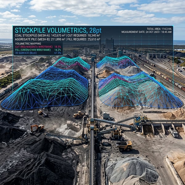
Drone Volumetric Stockpile Surveys: Precision Measurement & Cut/Fill Analytics in Mining
How UAV drone LiDAR and photogrammetry achieve sub-1% volumetric accuracy for mining stockpiles, cut/fill balancing, and bulk material audits in South Africa.
Ground Penetrating Radar (GPR) vs Electromagnetic Locators: Avoiding Subsurface Utility Strikes
Understand the distinct strengths of Ground Penetrating Radar (GPR) and Electromagnetic Locators (EML) for non-destructive subsurface utility engineering in South Africa.
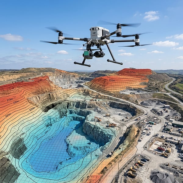
Aerial Photogrammetry vs LiDAR: Choosing the Right Geospatial Survey Method
Compare UAV photogrammetry and aerial LiDAR for topographic surveying, corridor inspection, and canopy penetration across South African terrain.