GPR Utility Locating in Pretoria: How to Prevent Excavation Strikes

Excavation works in South Africa's metropolitan hubs carry significant financial and safety risks. Underground utility networks are often poorly mapped, meaning a single backhoe stroke can disrupt entire municipal districts. Utilizing Ground Penetrating Radar (GPR) utility locating in Pretoria is the standard safety protocol for risk mitigation.
The Danger of "Blind" Excavation
Contractors frequently rely on outdated municipal diagrams. However, due to rapid urban development and unregistered utility installations, these diagrams are rarely accurate. Hitting a fiber-optic main line, high-voltage electrical conduit, or high-pressure gas main leads to severe consequences:
- Financial Liabilities: Repairs, downtime penalties, and municipal fines can quickly exceed hundreds of thousands of Rands.
- Safety Hazards: Electrical arc flashes, gas line explosions, and water main ruptures pose direct life safety risks to site crew.
- Project Delays: Legal standstills and insurance audits can stall a project for weeks.
How GPR Utility Locating Protects Pretoria Sites
Unlike traditional electromagetic locators that only detect metallic pipes, Ground Penetrating Radar (GPR) emits high-frequency radio waves into the ground. These signals bounce back when they encounter changes in subsurface materials, allowing us to map both metallic and non-metallic lines, including:
- Plastic and PVC conduits (fiber optics, municipal water lines)
- Concrete sewer pipes and clay storm drains
- Undocumented voids, sinkholes, and old foundation ruins
Best Practices for Subsurface Utility Engineering (SUE)
At TerraX3D, we follow the SUE Quality Levels system to ensure high-fidelity spatial datasets before construction begins. By combining dual-frequency GPR scanning with electromagnetic line tracing, we provide comprehensive CAD/GIS overlay maps of all subsurface utilities. Never break ground without a prior scan; contact us today for utility mapping in Pretoria.
Ready to map your site with millimeter accuracy?
Avoid costly strikes and coordinate clashes. Contact our professional geomatics engineering team to discuss your project requirements today.
Recommended Reading
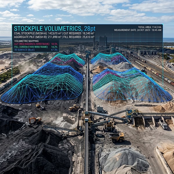
Drone Volumetric Stockpile Surveys: Precision Measurement & Cut/Fill Analytics in Mining
How UAV drone LiDAR and photogrammetry achieve sub-1% volumetric accuracy for mining stockpiles, cut/fill balancing, and bulk material audits in South Africa.
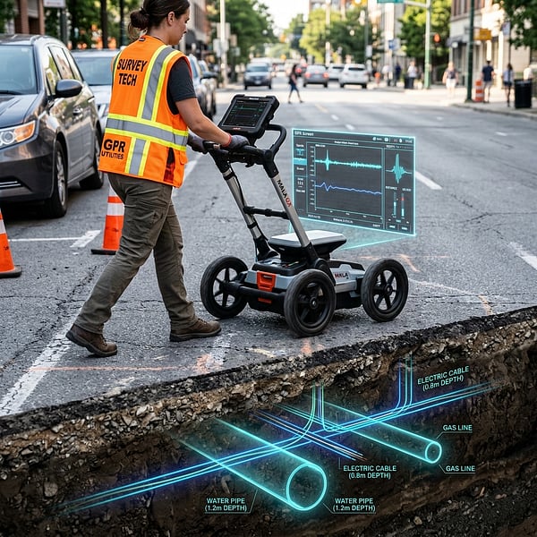
Ground Penetrating Radar (GPR) vs Electromagnetic Locators: Avoiding Subsurface Utility Strikes
Understand the distinct strengths of Ground Penetrating Radar (GPR) and Electromagnetic Locators (EML) for non-destructive subsurface utility engineering in South Africa.
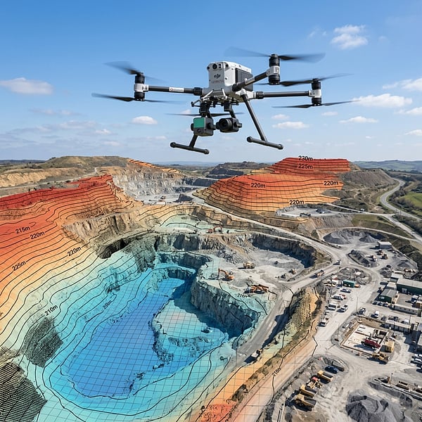
Aerial Photogrammetry vs LiDAR: Choosing the Right Geospatial Survey Method
Compare UAV photogrammetry and aerial LiDAR for topographic surveying, corridor inspection, and canopy penetration across South African terrain.