High-Density 3D Scan-to-BIM Services in South Africa: From Point Cloud to Revit

As Building Information Modeling (BIM) adoption accelerates across South Africa, the demand for precise spatial documentation is at an all-time high. Traditional manual measuring is slow and error-prone. Implementing Scan-to-BIM services in South Africa represents the modern, standard workflow for renovation, expansion, and heritage conservation.
The Scan-to-BIM Workflow
Scan-to-BIM is the process of capturing a physical space in 3D using terrestrial laser scanners (LiDAR) and converting the resulting point cloud data into a structured Building Information Model in Autodesk Revit. The workflow consists of three primary phases:
- 3D Laser Scanning: High-precision LiDAR scanners capture millions of coordinate points per second, documenting walls, structural beams, and mechanical services to millimeter accuracy.
- Point Cloud Registration: Multiple scans are stitched together using specialized registration software, aligning the coordinate data into a single, cohesive 3D spatial coordinate cloud.
- Revit Modeling: BIM modelers trace the registered point cloud, constructing native parametric Revit elements (doors, windows, structural slabs, MEP services) that mirror the real-world environment.
Why Scan-to-BIM is Crucial for B2B Construction Projects
Relying on old paper blueprint drawings during renovation leads to costly retrofitting errors. Scan-to-BIM identifies structural deviations (such as leaning columns or non-perpendicular walls) before design work begins. This dramatically reduces change orders, lowers clash detection conflicts, and accelerates fast-track construction timelines. Contact TerraX3D to learn more about our Scan-to-BIM services in South Africa.
Ready to map your site with millimeter accuracy?
Avoid costly strikes and coordinate clashes. Contact our professional geomatics engineering team to discuss your project requirements today.
Recommended Reading
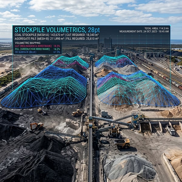
Drone Volumetric Stockpile Surveys: Precision Measurement & Cut/Fill Analytics in Mining
How UAV drone LiDAR and photogrammetry achieve sub-1% volumetric accuracy for mining stockpiles, cut/fill balancing, and bulk material audits in South Africa.
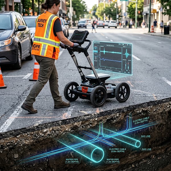
Ground Penetrating Radar (GPR) vs Electromagnetic Locators: Avoiding Subsurface Utility Strikes
Understand the distinct strengths of Ground Penetrating Radar (GPR) and Electromagnetic Locators (EML) for non-destructive subsurface utility engineering in South Africa.
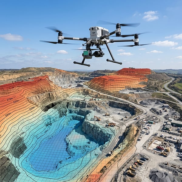
Aerial Photogrammetry vs LiDAR: Choosing the Right Geospatial Survey Method
Compare UAV photogrammetry and aerial LiDAR for topographic surveying, corridor inspection, and canopy penetration across South African terrain.